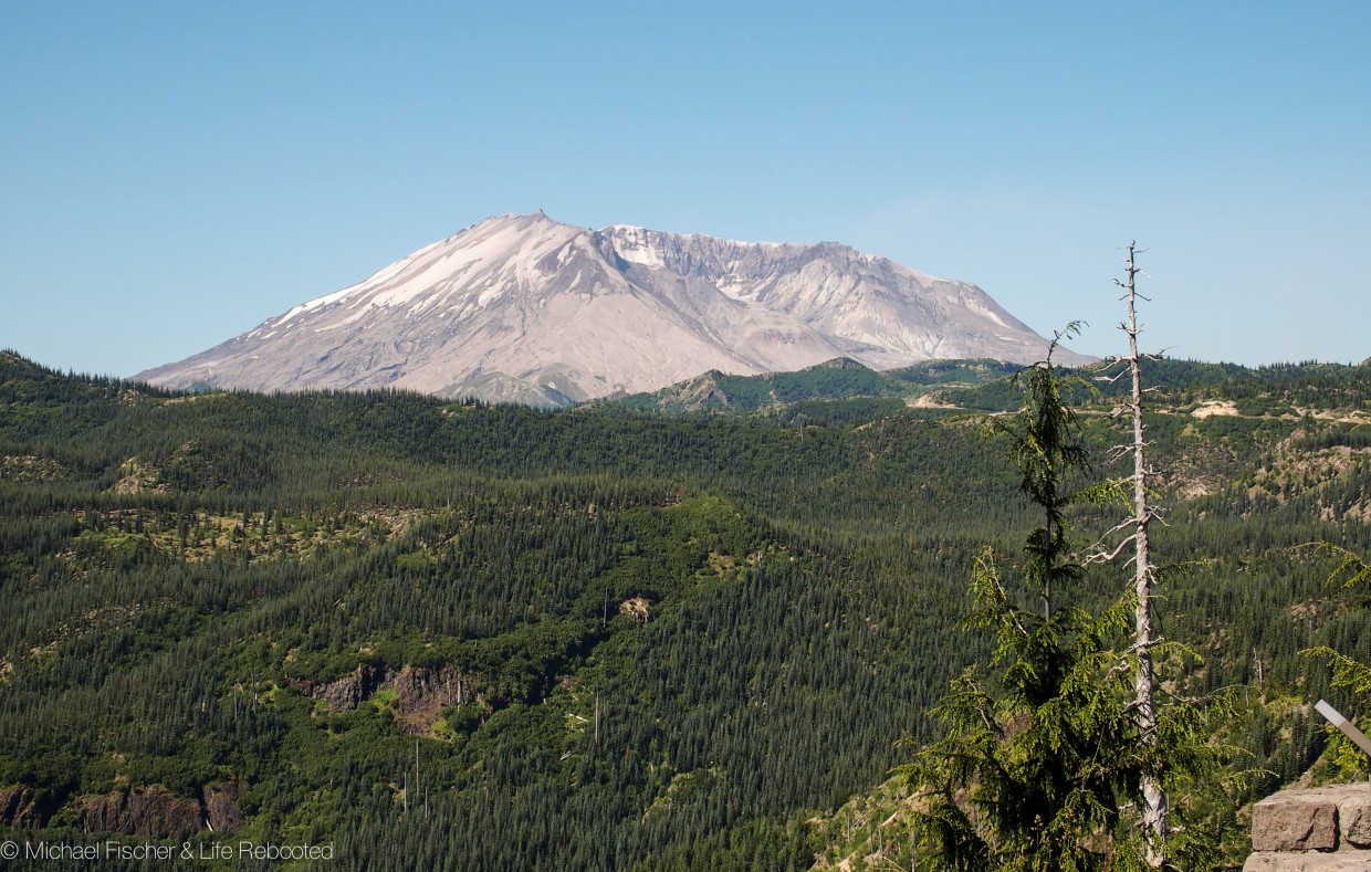
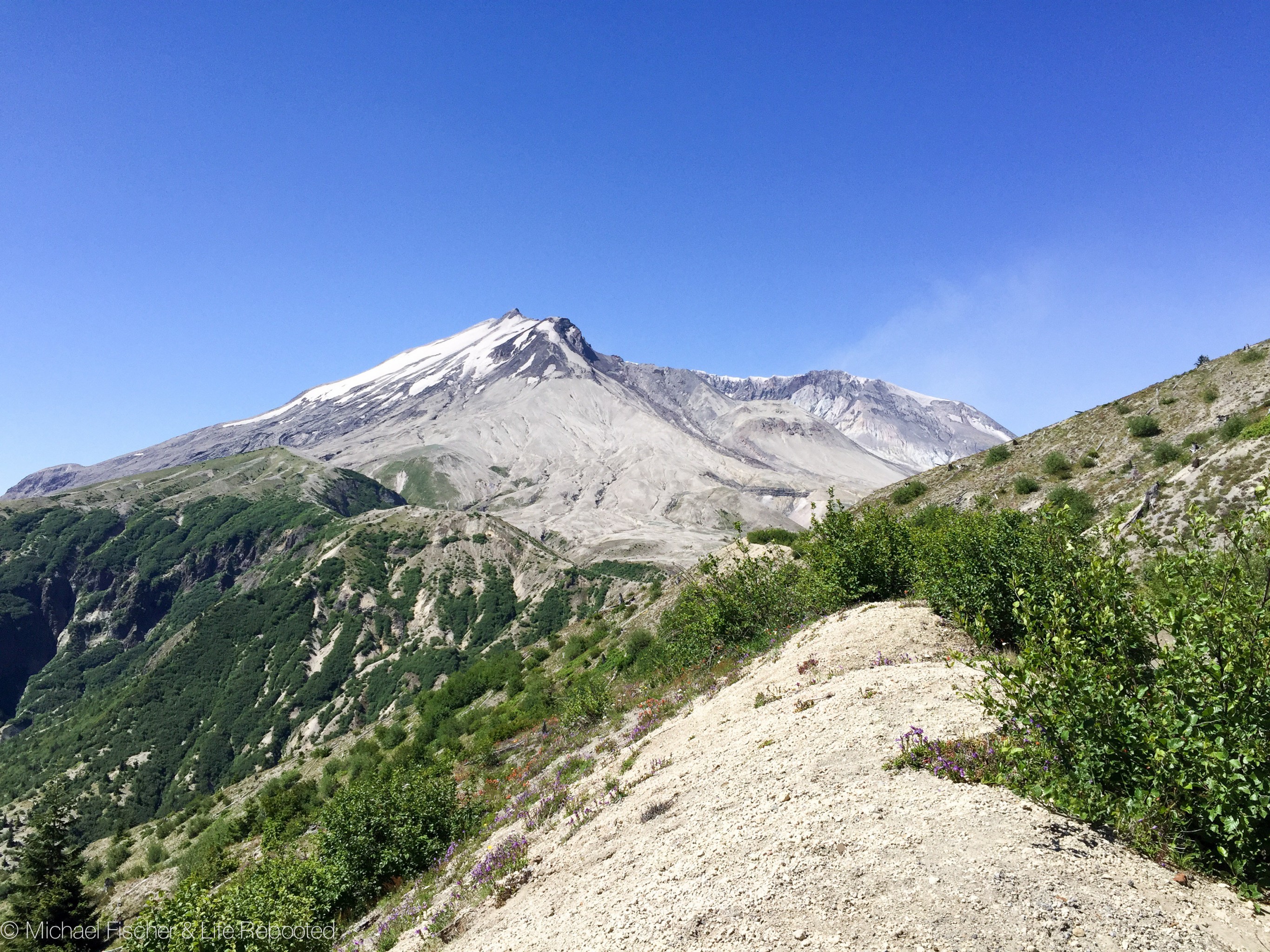
above: our view of Mt. Saint Helens from the road to parking area.
It’s been a long time since we’ve been able to “Driveway Camp” (camp in friend’s or family member’s driveway). Until now we’d done it in New Hampshire, Long Island NY, and our most recent time was all the way back in October in Florida. As we crossed into Washington my cousin Tom, whom I haven’t seen in many years, graciously offered to host us in his driveway for a few days.
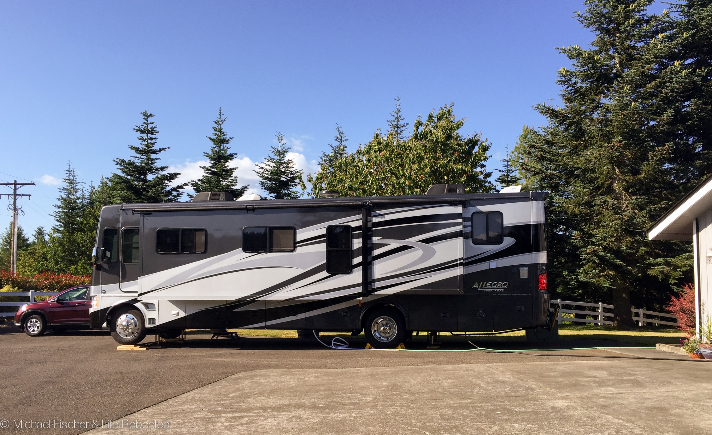
Rover’s fourth driveway campsite.
When we arrived it was better than we could have imagined! He has an enormous lot overlooking Mount St. Helens and Mount Adams, and Mount Rainier is visible once you move a bit so the trees don’t block the view. Letting us hook up to 20 amp power, water, and free WiFi made the deal even sweeter. It was great to visit with him and his family.
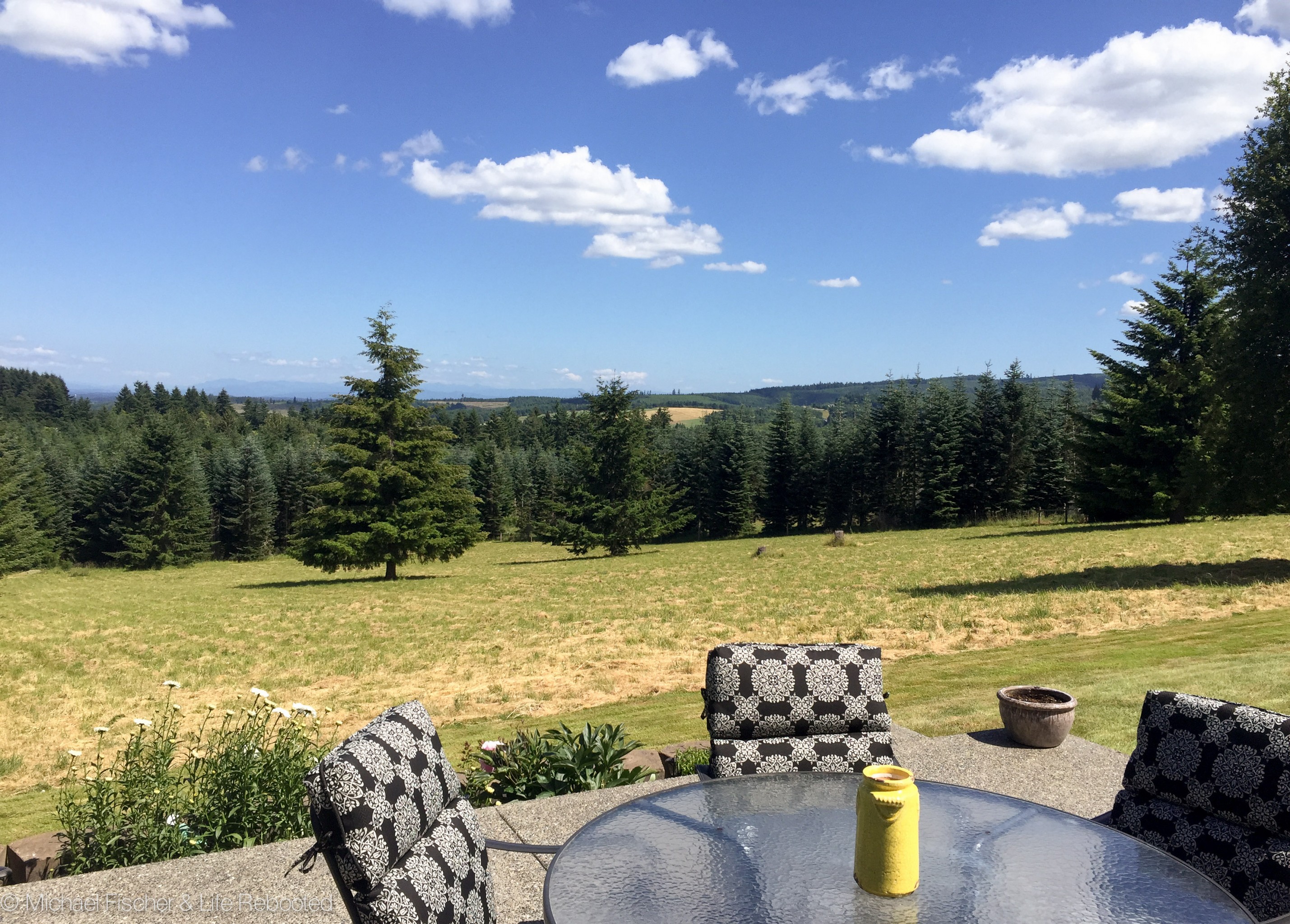
The view from our ‘campsite’
We also had an ulterior motive for staying with Tom: he’s an experienced hiker, climber, skier, and all-around outdoorsman. Tom volunteered to guide us on a tougher hike than we’re used to, to the base of Mount St. Helens. Our goal was to hike to the center of the path of the 1980 volcanic explosion and look up into the remains of the mountain.
The drive to the Windy Ridge trailhead along National Forest Road 99 was full of incredible views (see photo at top of page), sharp switchbacks, and sheer cliffs. Many areas of the road are damaged, sunken, or crumbling off the cliff, so the drive was slow and a little frightening, but we made it! We hit the trail loaded up with water, sandwiches, hats, and a couple layers of clothes.
Mount St. Helens re-enters our view, closer and clearer, after our first mile on the trail
All along our hike we could see the various areas affected by St. Helens’ explosion back in 1980. Off to the sides the forests are still thick and green with trees, while the area directly in front of the explosion is still almost completely barren. Everything within this 7-mile long “Tree Removal Zone” was uprooted and carried away by the force of the blast. We could also see the results of the “Blowdown Zone”, approximately 7 to 15 miles from the mountain, where all trees were knocked over. We could see trees sticking horizontally out of nearby hills, embedded there by the explosion, and over 100,000 downed trees floating in nearby Spirit Lake. Beyond 15 miles is the “Scorch Zone” where trees remained standing but were scorched and killed. In this photo below from our drive to the trailhead, both scorched and blown down trees are visible, as well as some new growth beginning to return to the area:
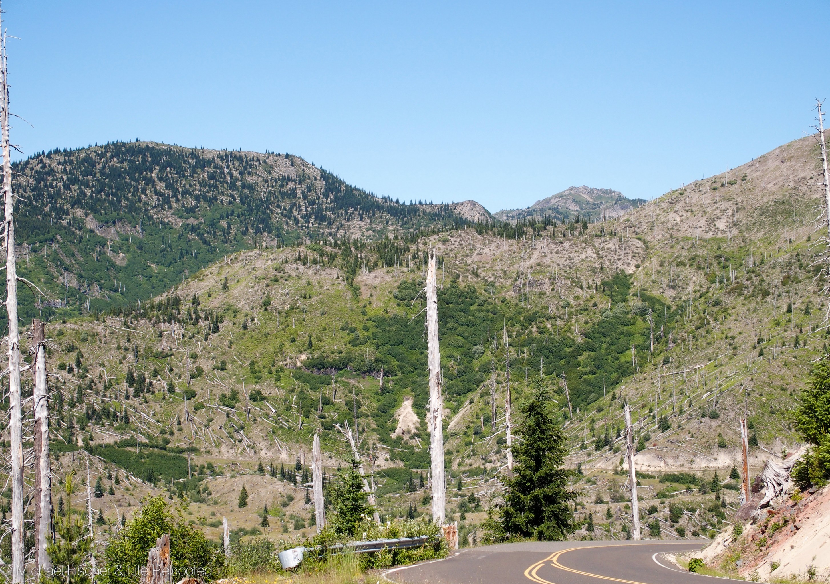
Scorched trees, blown down trees, and new life beginning to return.
Our hike was a hot and strenuous one (by our standards, anyway), with no shade to be found along the desolate landscape. Much of our path was relatively flat, but as we got closer to our goal we crossed several deep gullies. Some required scrambling over large volcanic boulders, and on some we risked losing our footing on loose sandy gravel.
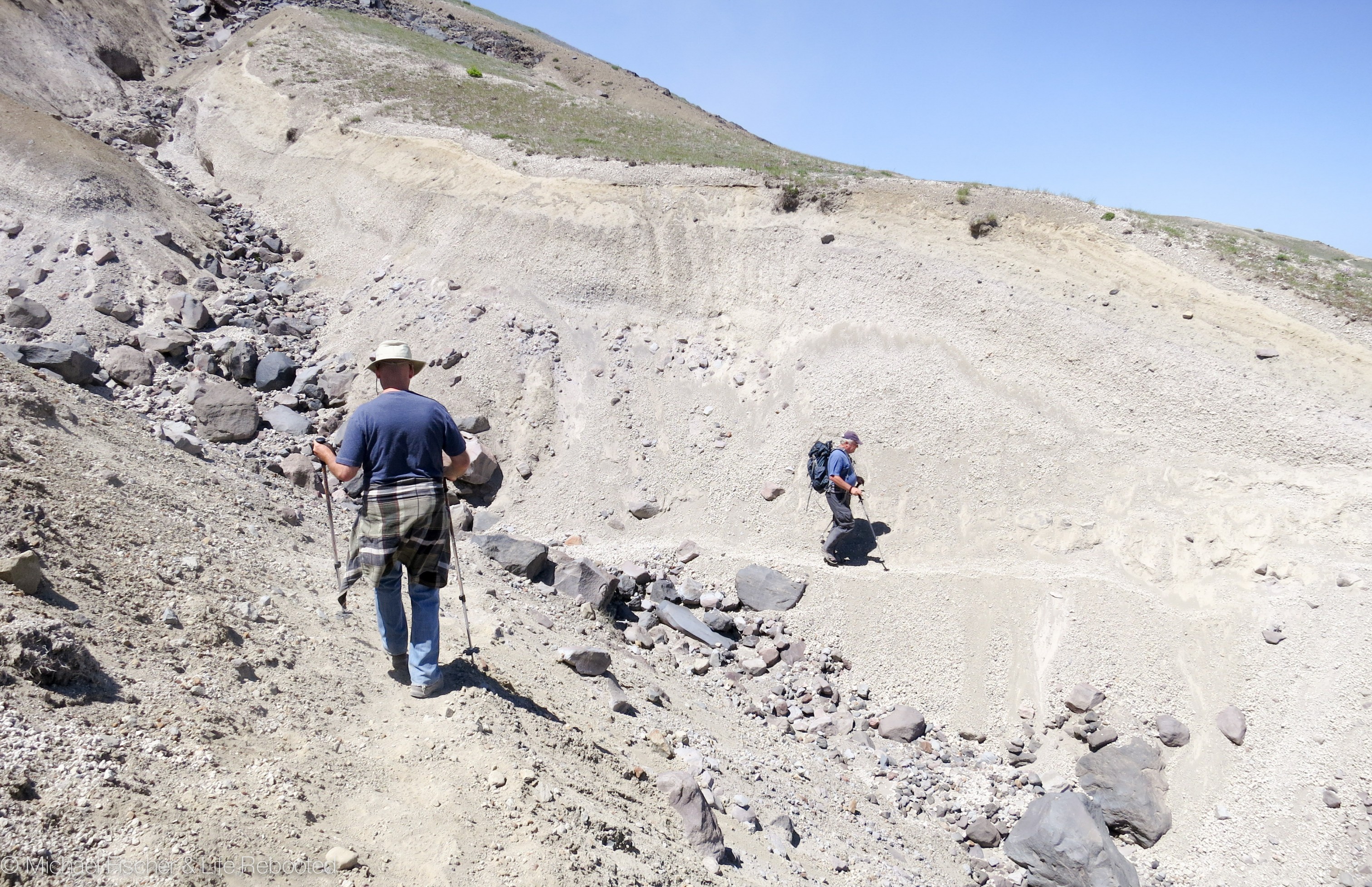
Another rocky, sandy dry stream bed to cross.
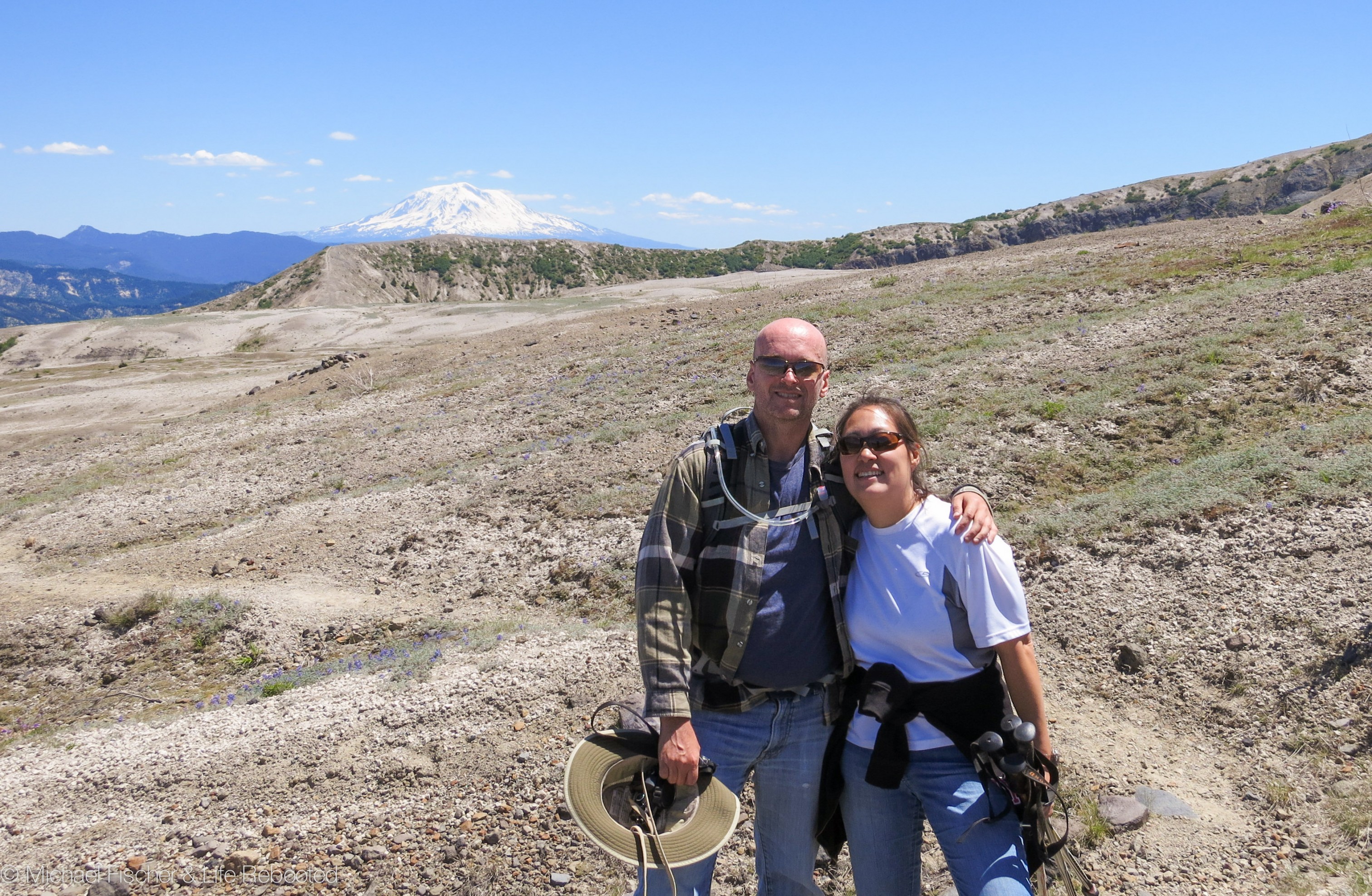
After four miles we stopped for lunch within sight of Loowit Falls (barely visible in the lower-right of the photo below). Our stretch goal had been to reach the falls but due to time constraints we made the decision to turn around and start trekking back to the trailhead. The parking area was a little over two hours from Tom’s house so with 4.5 hours of driving (here and back), we needed to keep the hike to a reasonable duration so we could get back to Rover to take care of Max and Opie.
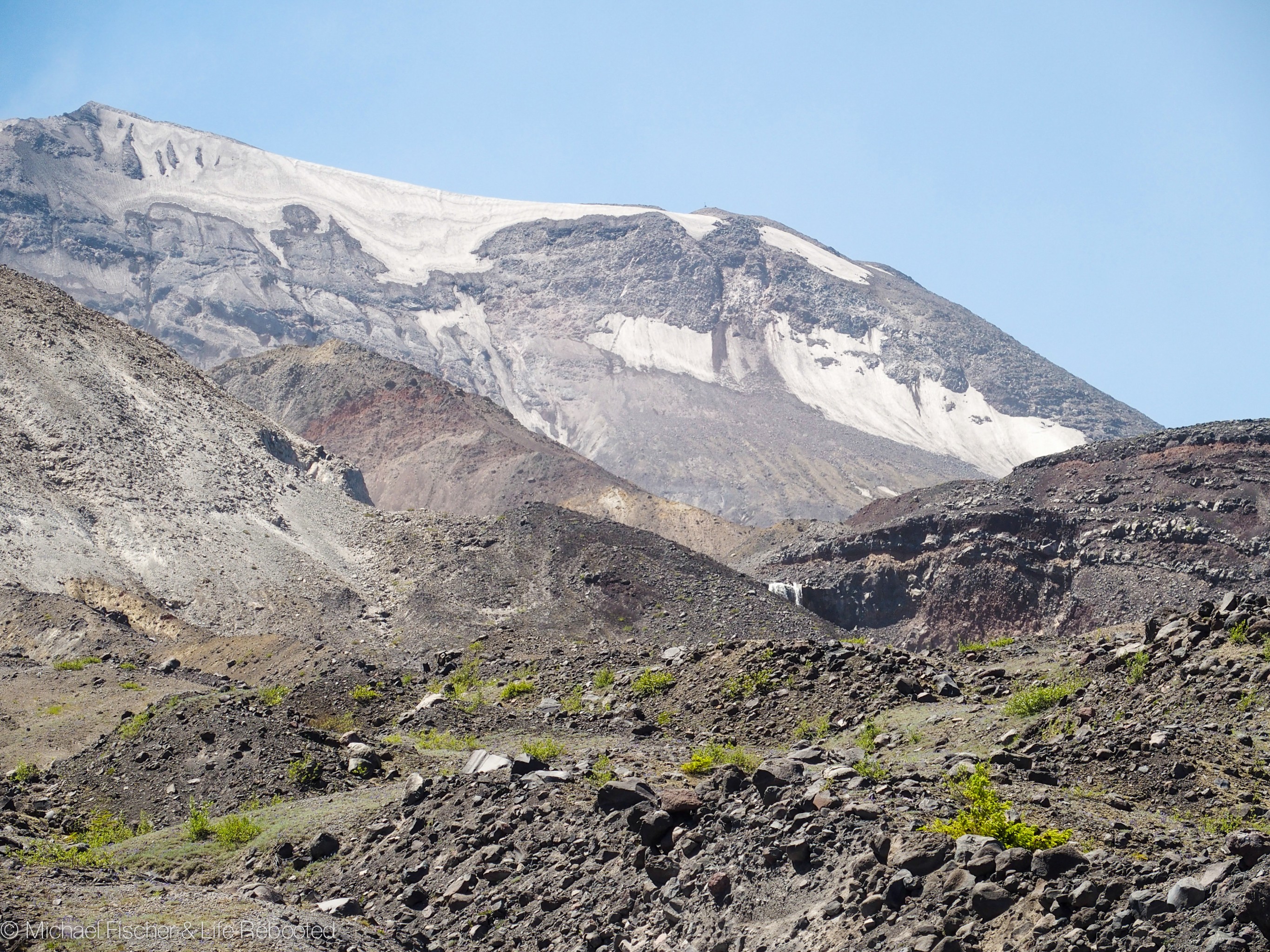
Our lunch and turn-around spot, and our closest view of the mountain.
As usual I recorded our hike coordinates so we could see where we had been. In the map below, the trailhead parking area is at the red marker in the upper right and our turn-around is the grey marker in the center. At the bottom you can see how the entire north face of the mountain was destroyed by the explosion, launching 350,000 trees into Spirit Lake where they remain today.
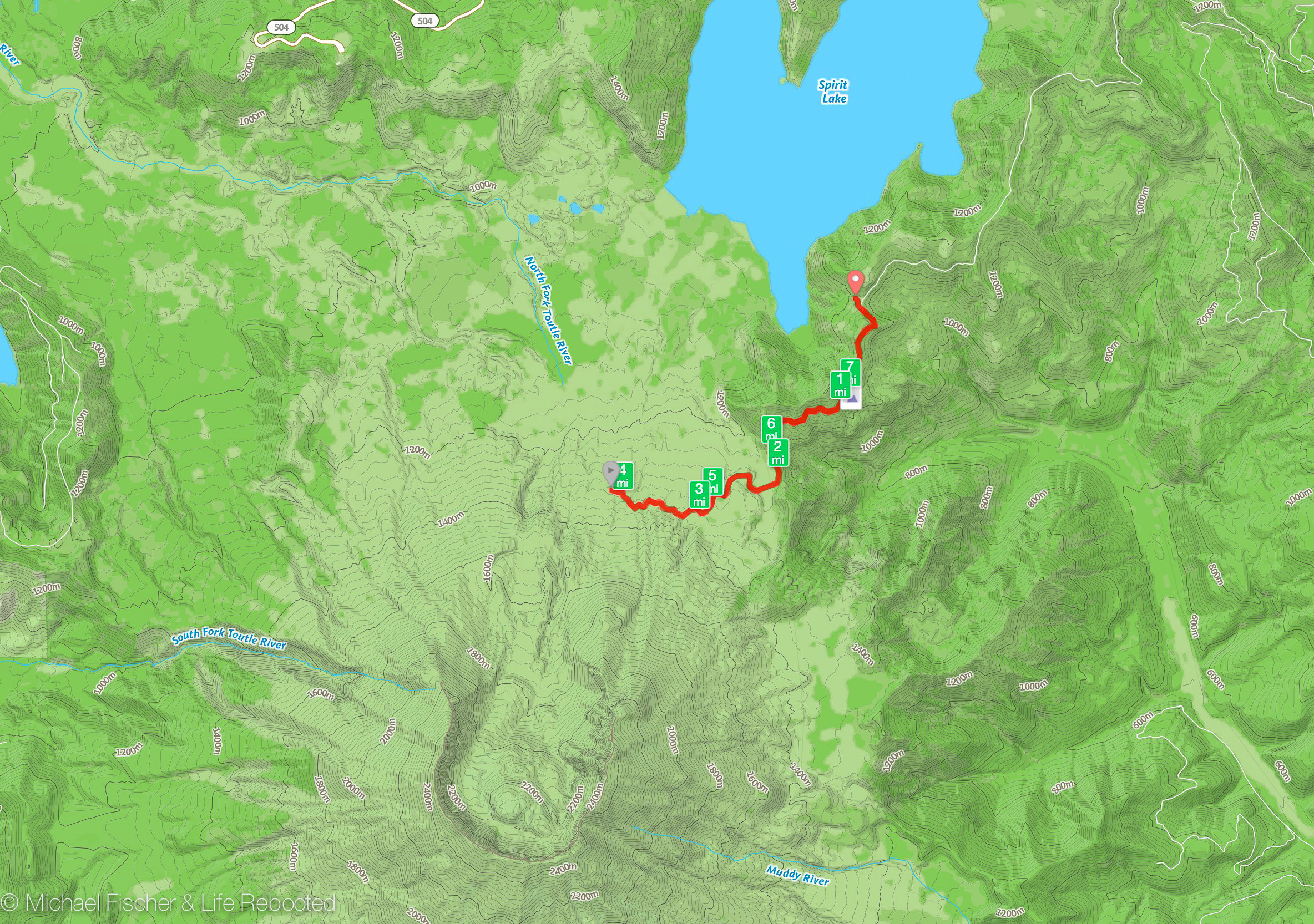
Map of our Mount St. Helens hike.
This was an exciting hike for us, made even better by Tom’s knowledgeable narrative about the area’s history. We always find it amazing to see the various ways our environment evolves and changes, whether gradually (like the Grand Canyon) or catastrophically (like St. Helens or Crater Lake). We had a great time and are hoping to return to the area next year to do some more exploring and hike Mount Rainier as well.
Snowy Mount Adams was usually visible in the background during our hike.

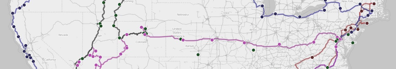
As you cross through central and then eastern WA, you will also observe in the landscape many of the impacts of the most catastrophic flooding in earth’s history, which happened during the most recent ice age.
You’ll see it and appreciate it better if you do just a bit of reading in advance!
As good a place an any to start :-) = https://en.wikipedia.org/wiki/Missoula_Floods
Fascinating article, thanks! I’ll keep my eyes open as we cross WA and ID. It’s going to be a pretty boring drive otherwise… I-90 almost all the way.
What a excellent post and pics. I’ve always wanted to visit Mt. St. Helen’s. This wonderful post makes me want to plan the trip for next year!!
Thanks again for another great post. I really love following your updates. We have a 36la also, plus we have one ( only 1) chocolate lab. Your dog-friendly posts are right up our alley!!
Tomi
Tomi, glad you enjoyed it! Mount St. Helens was especially unique and interesting because of the devastation from the 1980 event, making it very different from other places we’ve explored. We’re kinda bummed that we didn’t have time to also hike Rainier but we’ll be back. As for dogs, we follow the “Go Pet Friendly” blog which has a lot of info about places to visit/RV with dogs, so check it out if you haven’t already!